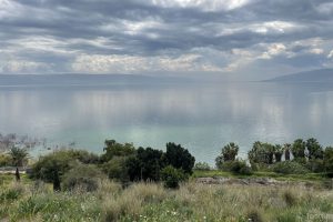
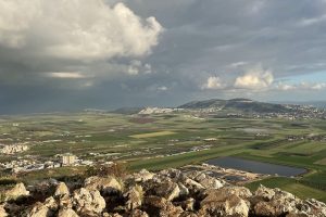
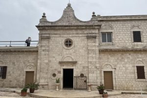
The galleries below show photos I have taken on my trips to Israel, with some descriptions and information that I hope will help the photos make sense. The galleries are ordered roughly in the order we followed on my trip in 2023.
Ashkelon is the oldest and largest seaport in ancient Canaan, and it sits on the Via Maris, a major coastal highway. The Middle Bronze Age city was destroyed, possibly after Ahmose’s expulsion of the Hyksos from Egypt in 1550 BCE. The Philistines took over the city from the native inhabitants in the 1200s BCE, and it became one of the five most important cities controlled by the Philistines. The Merneptah Stele, an engraved stone slab which describes Pharaoh Merneptah’s military victories in 1207 BCE, mentions Ashkelon in a list of cities the Egyptian Pharaoh Merneptah conquered. It also contains the earliest undisputed extra-biblical reference to Israel to date.
Canaan has been plundered into every sort of woe,
Ashkelon has been overcome
Gezer has been captured
Yanoam is made nonexistent
Israel is laid waste, and his seed is not.
13 Photos
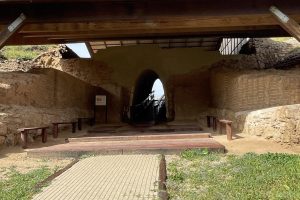
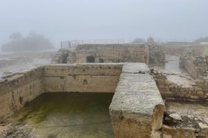
Be'er Sheva (most English Bibles spell it Beersheba) is located in the area where Abraham, Isaac, and Jacob lived in the 19th and 18th centuries BCE, and it became a prominent Israelite town in the 10th century BCE. The name means "well of an oath" (see Genesis 21:31). In the Tanakh, Be'er Sheva is often cited as the southernmost extent of the land of Israel (Judges 20:1, 1 Samuel 3:20, 2 Samuel 3:10, 1 Kings 4:25, 2 Chronicles 30:5). Most of the structures you will see are from the time of King Hezekiah.
15 Photos
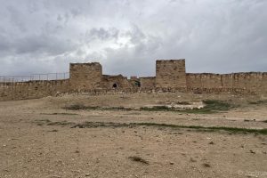
In the Early Canaanite period (Early Bronze Age, 3100-2950 BC), Arad was the only large city in the Negev and was a major trading center, supplying oil and Dead Sea asphalt to the Egyptians. Archaeological remains show that the Canaanites abandoned their city on the southwestern side of the site around 2600 BCE, but Arad was listed as a location that Joshua defeated around 1400 BCE. The fortress was constructed in several phases, starting from the Davidic period (10th century BCE), followed by a fortress dated to the Judean Kingdom (8th century BCE). The city was built and destroyed six times over the course of 350 years, including once by the Egyptian Pharaoh Shishak (Sheshonq I) in 926 BCE, recorded in Shishak's temple complex at Karnak (see 1 Kings 14:25–26). The fortress was utilized as a military outpost throughout the Persian, Hellenistic and Roman periods, and was used as an inn in the early Arab period before being abandoned in the 10th century CE.
13 Photos
According to Josephus, Masada (which means "fortress") was initially used as a fortress by the Hasmonean king Alexander Janaeus (Josephus calls him "Jonathan the high priest"), who ruled 103-76 BCE. No archaeological remains from that time period have been found, but the fortress that exists on the site was designed and built by Herod the Great at the end of the first century BCE. In addition to offering him a place of personal protection from outside enemies, Masada provided Herod with all of the modern Roman conveniences, including a palace complex, bathhouses, store rooms, and large water cisterns.
During the first Jewish Revolt, Masada was taken over by a group of Jewish rebels in 66 CE led by a man named Eleazar Ben Yair. They built a synagogue and mikvaot (ritual baths) and lived in the buildings and walls already present. The Romans attacked the fortress in 73 or 74 CE, surrounding it with a siege wall and eight Roman army camps. Over the course of 2-3 months the Romans built a siege ramp on the Western side of the mountain, from which they would be able to break through the defensive casemate wall that surrounded the top of the plateau and enter the compound.
Josephus tells us that when the Romans finally breached the wall, they found that all 960 of the rebels were dead through mass suicide. The men had drawn lots to determine who would kill everyone else, and who would be the last to die.
103 Photos
Ein Gedi is situated close to the Dead Sea where the Arugot spring and the Ein Gedi Spring exit from the mountains and converge. This area was first settled around 3000 BCE, and had a Jewish town from the 7th century BCE until the 5th century CE. In those times (and before) the land around the springs was cultivated and was known for its persimmons, date palms, and henna. David hid from Saul in this area, which would have been a perfect respite from the desert heat. The site contains beautiful hiking trails, along with an archaeological site and a Byzantine-era synagogue.
73 Photos
Qumran is an archaeological site near the Dead Sea where that is famous as the location where many of the Dead Sea Scrolls were found. The site itself is a small village thought to have been inhabited by a group of Essenes. The layout of the buildings point to a strong communal lifestyle, with meeting rooms, a central dining room, a kitchen, pottery workshops, and stables. The main path through the site follows the aqueduct that provided water throughout the village, including to the multiple mikvaot around the dining room. You will also have an opportunity here to learn about the Dead Sea Scrolls, and you can see some of the principal caves from the site.
29 Photos
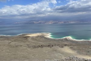
The Dead Sea is a salt lake bordered by Jordan to the east and Israel to the west. It lies in the Jordan Rift Valley, and its main tributary is the Jordan River.
19 Photos
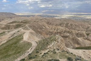
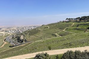
Mitzpe Yericho ("Jericho Lookout") is an Israeli town built on a hilltop overlooking the modern city of Jericho. The view from this location spans from the Dead Sea on your right to the hills east of Jerusalem on your left. The wadi in front of you is where the ancient road between Jericho and Jerusalem used to run—the same road that serves as the background to the parable of the Good Samaritan. This area also comes up in many other Biblical stories, including Yeshua’s baptism, Zacchaeus, Elijah being taken up in the chariot, and more.
14 Photos
The city of Lachish is located in the Shephelah (שְּׁפֵלָה), the foothills connecting the Judean mountains to the coastal plain. Lachish is first mentioned in the archaeological record in the Amarna letters, clay tablets found in the royal archives in the Egyptian city of Amarna, dating from around the time of the conquest of Israel (1400-1350 BCE). These letters were sent to the Pharaoh by city leaders in Canaan, often to request assistance and complaining that a group called the Habiru or Hapiru are destroying cities and defeating the Canaanite armies.
In the year 701 BCE, the fourteenth year of the reign of King Hezekiah of Judah, the Assyrian king Sennacherib invaded Judah with the goal of suppressing a rebellion. Sennacherib’s army marched south destroying cities and bringing the people back under Assyrian vassalage. He laid siege to Lachish, the second most important Judahite city, using Jewish prisoners to build a siege ramp up the side of the hill on which Lachish is built, east of the main city gates. As he was engaging with Lachish, he sent his emissary Rabshakeh to Jerusalem to warn Hezekiah that the army was headed there next. You can read the story of that encounter, and the ensuing victory HaShem brought to the Jews, in 2 Kings 18-19 and Isaiah 36-37.
56 Photos
The Valley of Elah is a triangular valley in the Judean foothills (שְּׁפֵלָה, Shephelah), and is the location of the battle between David and Goliath. While the valley looks different today than it did 3000 years ago, it does still have the same general shape it had at that time, including a stream running through the middle.
7 Photos
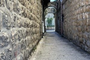
These are some general pictures I took around the city, including some interesting doors and alleys.
93 Photos
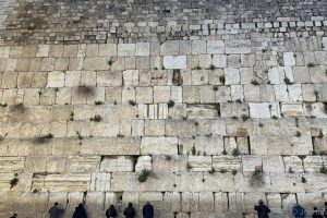
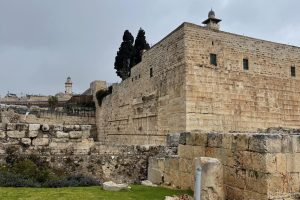
The Western Wall (the Kotel) is part of the retaining wall built by Herod the Great when he expanded the Temple Mount as part of his massive building project in the late first century BCE. The expansion doubled the area of the Temple Mount, with 5-meter (15-foot) thick limestone block walls quarried 4 kilometers (2.5 miles) northwest of the site. The area inside the walls was filled with fill dirt, resulting in a flat platform with room for many more worshippers and administrative buildings.
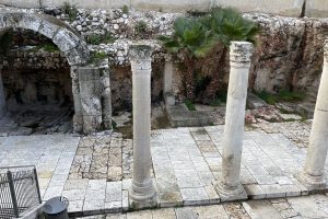
As you look at the Kotel, the bottom seven courses (layers) of stone are part of the original Herodian wall, and can be distinguished by the distinctive stone dressing technique unique to Herod’s building projects. The four plainer courses above that are from the Byzantine era (300-400 CE), and above that are levels from the Muslim conquest (7th century CE) and the Ottoman period (19th century CE). While the Western Wall seems very tall here, it actually descends 17 more layers below ground level, and you will see some of those lower layers in the Western Wall Tunnels. The plaza is also higher than the Second Temple period street, which you can see in the Archaeological Park at the southwestern corner of the Temple Mount.
The Kotel is the only surviving wall of the Second Temple, and since Jews have been forbidden to pray on the Temple Mount itself for centuries they have prayed here instead, at the location closest to the Temple. However, access to the Kotel was also cut off for much of the last 1000 years. In 1967, during the Six Day War, the Israeli army reunited the city of Jerusalem, giving the Jewish people access once again to the Kotel. At the time, the plaza was only 10 feet wide, but within a few days the army had demolished all of the surrounding buildings and made room for the plaza you see today.
60 Photos
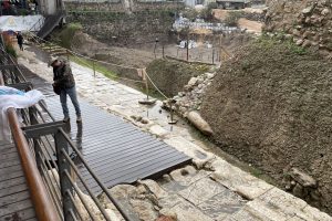
In 1968, after Jerusalem was reunited under Israeli rule during the Six Day War, the area on the southwest side of the Temple Mount was excavated by a team of archaeologists led by Benjamin Mazar. While British ordnance officer Captain Charles Warren had dug some vertical shafts in the area in 1865 to see what could be found, the modern excavation went much further. Ground level used to be just under Robinson’s Arch.
45 Photos
The City of David is the location of the original city of Jerusalem during the Jebusite period and David's reign. It is outside the current (Crusader-era) city walls, south of the Temple Mount.
15 Photos
Hezekiah’s Tunnel, sometimes called the Siloam Tunnel, is a 1,750 foot (533 meter) passageway cut through the bedrock, redirecting the waters of the Gihon Spring from the Canaanite Tunnel down to the Pool of Shiloach on the southern side of the city. In addition to redirecting one of the most important water sources in ancient Jerusalem to a location the residents would be able to easily access, the tunnel was also more protected than the old passageways, which were too close to the city walls.
43 Photos
The waters of the Gihon Spring flow through Hezekiah’s Tunnel, and down to the lowest point in ancient Jerusalem, the Pool of Shiloach. This pool, called the Lower Pool in some Biblical passages, was originally built by Hezekiah at the same time he dug the water tunnel, with the goal of protecting the city’s water supply from being taken by the Assyrians. The pool was reconstructed during the Hasmonean period (around 100 BCE) with a plaster coating, but Herod the Great renovated it with a stone lining as part of his extensive construction projects in Jerusalem. The Pool of Shiloach was the largest mikveh (ritual bath) in the city (as large as two Olympic-sized swimming pools), and pilgrims who were headed up to the Temple Mount would immerse here start their ascent, walking along the Pilgrimage Road.
After Jerusalem was destroyed in 70, the pool was covered and lost to time. Another pool, the one you see immediately upon exiting Hezekiah’s Tunnel, was constructed in the 5th century and mistakenly thought to be the Pool of Shiloach for centuries. However, in 2004 a sewer main burst, and during the repair work the steps of the Pool of Shiloach were discovered. Excavations were conducted in 2005, and the steps on the northeastern corner of the pool were uncovered. However, the majority of the pool was unable to be excavated because the land was owned by the Greek Orthodox church and was the site of an orchard. In 2022 the ownership changed, and excavations at the site began in early 2023.
10 Photos
This building, pieces of which date back to the early second century, is the traditional location of the Upper Room.
The synagogue in the downstairs part of the building is called the Tomb of David, but it is well known that David was not buried in this location (see 1 Kings 2:10). The synagogue here was built in the 1st or 2nd century CE, and may have actually been an early Messianic synagogue.
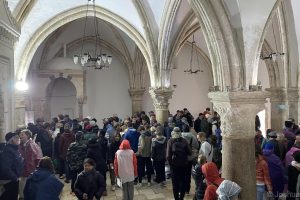
Above the synagogue is the traditional location of the Upper Room, where Yeshua and his disciples celebrated his final Passover. While the structure was built in the 12th century Crusader period, the location has strong traditional connections as the correct Upper Room location.
34 Photos
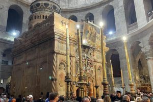
This church marks the traditional location of both Golgotha (the place of the Master’s suffering and death), and the tomb within which he was laid. While many protestants object to the idea that the tomb of Yeshua was located here, and instead prefer to visit the Garden Tomb, this location not only has more historical connection to the original location, it has more archaeological evidence.
Today, the church is controlled by six different Christian denominations (Catholic, Armenian, Greek Orthodox, Syrian Orthodox, Coptic, and Ethiopian), each of which has their own unique space within the building. Building usage is passed between the different groups throughout the day, and you might find yourself there when the change-over happens.
27 Photos
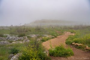
The Galilee region is the area north of the Jezreel valley and west of the Lake Galilee.
46 Photos
Megiddo is one of the most well-known archaeological sites in Israel, mostly due to its association with Armageddon. The city is mentioned in many ancient manuscripts from the Egyptians, the Assyrians, and even the Hittites. The tel itself is situated on a hill overlooking the Megiddo valley, and it was occupied at various points over a long time period, from the Neolithic period to the captivity of the Northern tribes of Israel during the 8th century BCE.
Megiddo has a 6-chambered gate built by Solomon and a deep water system. It also has some beautiful views out over the valley. You can easily see why this one spot has been contested by nations for millennia.
30 Photos
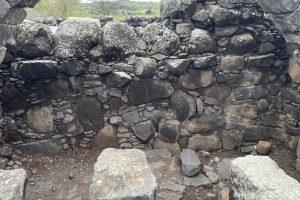
The town of Korazim is first mentioned in sources from the Second Temple period, noting the fine wheat the inhabitants raised there. In the New Testament, Korazim is mentioned as one of three towns – together with Bethsaida and Capernaum – which Jesus cursed because they did not heed his teachings (Matt. 11:20).
7 Photos
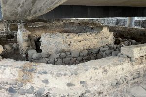
Capernaum is an ancient city on the northwestern shore of the Sea of Galilee. It was Yeshua’s second home and, during the period of his life, a garrison town, an administrative center, and a customs station. Yeshua called his disciples Peter, Andrew, and Matthew in Capernaum and performed many of his miracles there.
75 Photos
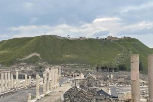
The sages said, “If the Garden of Eden is in the land of Israel, then its gate is Beit Shean.” The site has been almost continuously settled from the Chalcolithic period to the present. The Romans rebuilt the city in 63BCE, calling it Scythopolis and making it the capital city of the Decapolis (and the only one West of the Jordan River).
20 Photos
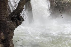
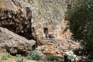
The Banias Nature Reserve, located in the upper Golan, contains Banias Falls, the largest waterfall in Israel, along with beautiful hiking trails. The reserve also includes the ruins of a crusader city and the palace of King Agrippa II.
25 Photos
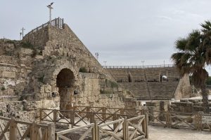
Caesarea is located on the Mediterranean sea, north of Tel Aviv. The area was inhabited as a small village named Straton's Tower (see Josephus' Jewish War, I:21,5) before it was given to Herod the Great in 30 BCE. Herod renamed the town Caesarea in honor of Octavian Augustus Caesar, and made plans to rebuild the area as an important port and Roman city. The construction took 12 years and included the development of the largest protected harbor on the Eastern Mediterranean coast, a palace complex that jutted out into the Sea, an amphitheater and hippodrome, a temple, and a network of planned roads and residential areas. The city's inauguration in 10 BCE was a major celebration, and the city grew quickly to a population of more than 125,000.
The Great Revolt that erupted in 66 CE was partially caused by conflicts between Jews and Romans in Caesarea. After the destruction of Jerusalem and the Temple in 70, Caesarea became the most important city in Israel. It also served as a center of Roman power during the Bar Kokhba Revolt in the 2nd century.
Caesarea later had prominence during the Crusades and was finally destroyed and deserted in 1265.
74 Photos
